On October 29, the Southern California Association of Governments added 20 stations to its SB 79 map. None of them exists. Ten sit on Metro’s K Line Northern Extension, a tunnel from Expo/Crenshaw to Hollywood that Metro does not expect to open until 2047 to 2049. The last stop is the Hollywood Bowl.123
That map now decides where Los Angeles County must allow mid-rise housing. SB 79, operative since July 1, sets state floors near qualifying transit. At a light rail stop, a city must allow 85 feet and 140 homes per acre within 200 feet of the entrance, 65 feet within a quarter mile, and 55 feet out to a half mile. Heavy rail stops get 10 feet more at each step. The map carries a rebuttable presumption of validity: if a parcel falls inside a band, the state assumes it qualifies.45
Every stall in a structure is a bet on demand that outlives the people who sized it. SB 79 and its parking companion, AB 2097, just changed when that bet gets placed.
What the SB 79 map actually measures
The bands are drawn from a station’s pedestrian entrance, not the middle of the platform, and if a band touches any part of a parcel, the whole parcel counts.4 That is why the October update matters even where no station was added. SCAG moved 23 existing and under-construction stations, on the D Line, the A and E Lines downtown and elsewhere, from platform centers to their actual entrances.12 Moving a dot moves a circle. Moving a circle changes which lots can hold 65 feet instead of three stories.
The gap between the zoning and the train
SB 79 is not limited to lines that run. A planned stop qualifies once its project has an adopted locally preferred alternative or committed federal construction funding.46 Metro adopted the K Line extension’s route in March 2026. It chose underground heavy rail for the Sepulveda corridor in January, which makes those stations Tier 1, the taller standard.37
AB 2097 works on a separate trigger. It bars minimum parking requirements on most projects within a half mile of a major transit stop, and that includes stops that appear in the regional transportation plan, built or not.8 The two laws switch on at different planning milestones, but near most of these stations both are already on.
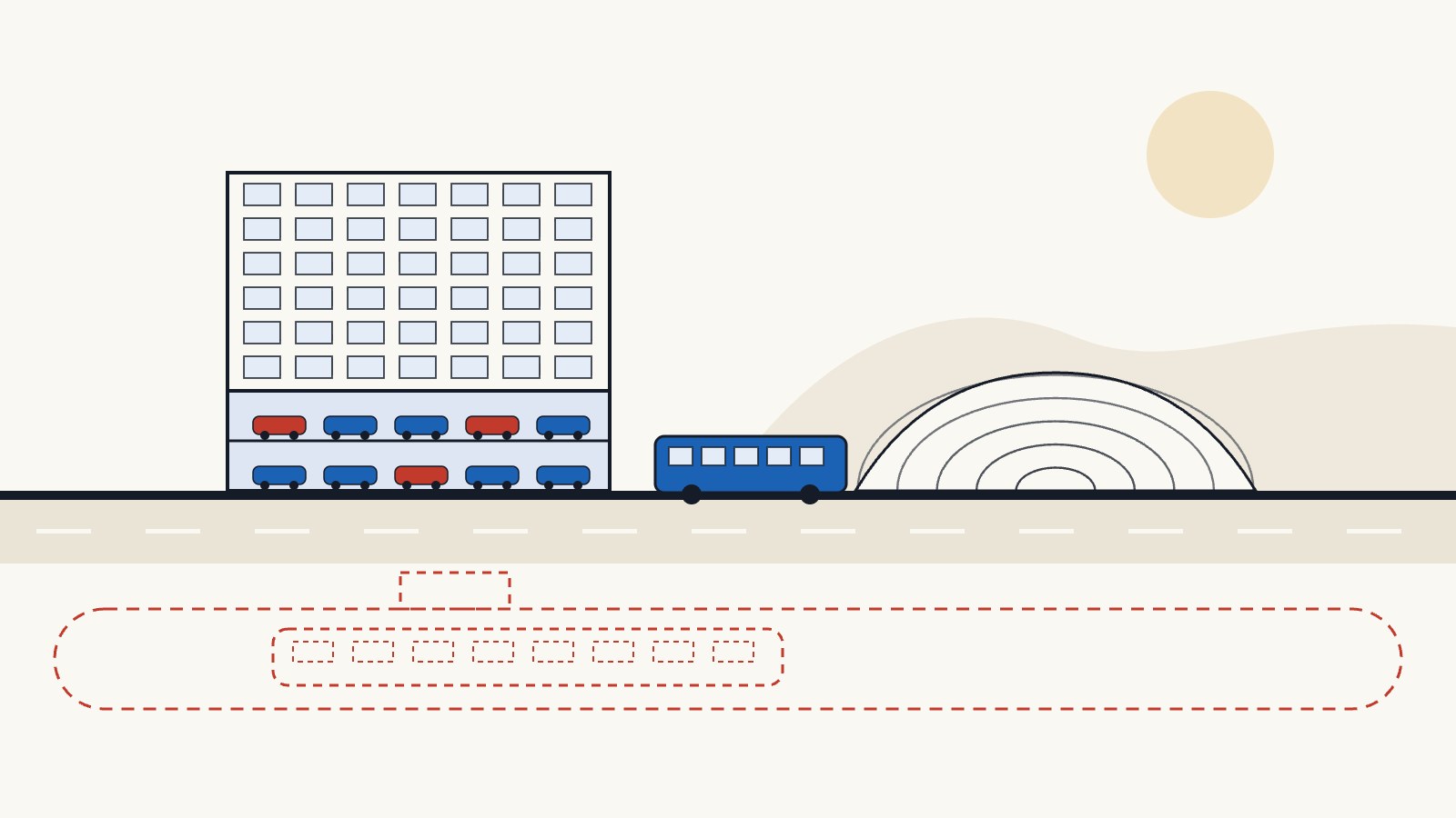
Put them together and a parcel near Fairfax/3rd can carry transit-zone height and density, with no parking floor, while its station is still a drawing. A building approved there next year could spend its first two decades as a building near a future train. Its residents’ daily trips will run on cars, buses and whatever parking the building or the street provides.
The street is not an automatic release valve. Los Angeles, under a 2024 state law, bars preferential parking permits for residents of parking-exempt projects, with exceptions for deed-restricted units.9 Whatever parking those residents need has to be decided on site.
Who sets the parking stall count now
Not the code. Near these stations the number is set by the developer, the lender and the first tenants, and all three will be pricing a neighborhood that still drives. The likely result is more parking than the code requires, sized for 2027 and standing in 2050, when the trains arrive and the demand changes.
That is why a parking consultant belongs on the team at the planning stage, before the pro forma and the massing are locked. When the code stops supplying a number, someone has to derive one: a demand study for the neighborhood as it is today, a second for the neighborhood the station will create, and a plan for moving between them. The decisions that follow, including the ratio, how stalls are priced and unbundled, the access control for shared use, and floor plates that can convert, cost little on paper and a great deal once they are built. An owner’s parking consultant who knows the local ordinance, what lenders will underwrite and what equipment it takes to run shared, priced parking can size the garage for both eras before the first stall is poured.
The risk is not too many stalls or too few. It is a garage that can only ever be a garage.
Andrew Sachs
A structure built for a car-dependent first life and a transit-served second one needs to be designed for both on day one:
- Unbundle. In Los Angeles County, new rental buildings of 16 or more units must already lease parking separately from rent under AB 1317.10 Unbundled parking turns each stall into a price signal.
- Share. AB 894 lets owners share underused stalls and count them toward requirements within 2,000 feet.11 Plan the shared parking access control now.
- Convert. Flat plates, generous floor-to-floor heights and ramps that can be removed or sit outside the floor plate are what let a parking level become something else. Our future-proofing series walks through the details.
- Price from the start. A stall that has always carried a price is easier to repurpose than one tenants think is free.
The Hollywood Bowl station
The Hollywood Bowl is the clearest picture of where this goes. It seats 17,500. Its on-site parking is stacked and limited, and the venue steers patrons to Park & Ride and Bowl Shuttle buses from lots across the county. It recently turned Lot C into a rideshare hub and cut back Lot B to make room for shuttles.1213 In other words, the Bowl already runs its event parking as a transit operation, two decades before the train.
508 stations and stops shown. Planned K Line stops to Hollywood pulse and are enlarged. Tap or hover a stop for details; drag to pan, double-click to zoom.
The station will not put housing on the Bowl’s own lots. The Bowl is a county-owned park, and SB 79 reaches only sites zoned residential, mixed use or commercial.14 The bands around it, and around the existing Hollywood/Highland stop to the south, land on its neighbors instead, some of them in historic territory. Whitley Heights, across Highland, is both a city Historic Preservation Overlay Zone and a National Register district.15 SB 79 excludes some locally designated historic sites, and how far that protection should reach is still being worked out in Sacramento.16 Expect the line between transit zone and historic district to be drawn parcel by parcel.
What we still do not know
Metro has not published an opening estimate for the modified Sepulveda line or a firm date for Eastside Phase 2. No one has yet reported how lenders are underwriting parking ratios near unbuilt stations, or whether any SB 79 projects have been filed near them. And the state has not said whether it will align the two laws’ planned-stop triggers. For the rules themselves, see our SB 79 explainer and how they play out in Santa Monica’s height fight.
Andrew Sachs, PTMP, is president of Gateway Parking Services, a parking consultancy and systems integrator.
Sources
- SCAG, “Updated SB 79 Transit-Oriented Development Stops, Zones and Tiers Map,” Oct. 29, 2026. scag.ca.gov
- Urbanize LA, “SCAG released revised SB 79 map for Southern California,” Nov. 11, 2026. la.urbanize.city
- LA Metro, K Line Northern Extension project page (estimated completion 2047 to 2049; route ends at the Hollywood Bowl). metro.net
- SCAG, “SB 79 Mapping Approach and Methodology,” July 2, 2026. scag.ca.gov
- Perkins Coie, “California Legislature Passes Senate Bill 79,” development standards by tier. perkinscoie.com
- California Department of Housing and Community Development, letter to SCAG on locally preferred alternatives, June 25, 2026. hcd.ca.gov
- LA Metro, Sepulveda Transit Corridor project page (underground heavy rail LPA, January 2026). metro.net
- California Department of Housing and Community Development, “Minimum Parking Requirements (AB 2097)” fact sheet, April 2026. hcd.ca.gov
- Parkonomics, “Santa Monica’s Height Fight Is a Parking Fight,” on Los Angeles preferential permit limits for parking-exempt projects. parkonomics.co
- AB 1317 (Carrillo), Ch. 757, Stats. 2023; Cal. Civil Code 1947.1. legiscan.com
- AB 894 (Friedman), 2023; Cal. Gov. Code 65863.1. legiscan.com
- Hollywood Bowl, Parking (Lot C rideshare hub, Lot B shuttle hub, stacked parking). hollywoodbowl.com
- Los Angeles Times via Yahoo News, “Hollywood Bowl closes half of parking lots to make transportation hubs” (capacity 17,500). yahoo.com
- Hollywood Bowl, Visit FAQ: owned and operated by Los Angeles County Department of Parks and Recreation. hollywoodbowl.com
- Los Angeles City Planning, Whitley Heights Historic Preservation Overlay Zone; National Register of Historic Places, Whitley Heights Historic District (1982). planning.lacity.gov
- Assembly floor analysis, AB 2576 (Harabedian), as amended April 16, 2026. leginfo.legislature.ca.gov
 A